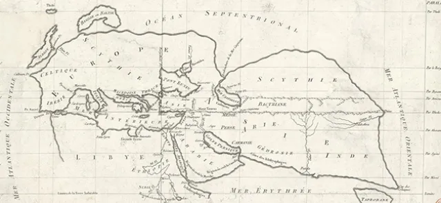




Latitude and longitude…
----------------------
Latitude, which measures position relative to the equator along a meridian, is easy to determine: simply sight Polaris and measure its angle from the vertical, indicated by a plumb line. By convention, latitude is represented by the complement of this angle…
But what about longitude? How can we determine how far a ship has travelled west or east along a parallel?
In 1636, Galileo proposes a solution. He knows that the Earth rotates once every twenty-four hours and that the position of the Sun determines local time. His reasoning is this: measure the difference between the local times at which the same astronomical phenomenon appears at two different points on Earth. Suppose the phenomenon occurs at five o'clock in one place and at seven o'clock in another on the same parallel. From this two-hour difference, we calculate that the difference in longitude between the two places is 360 degrees divided by 24 and multiplied by 2, or 30°, corresponding to 3,333 kilometres at the equator and 2,333 kilometres at the longitude of the city of Padua, Italy.
-