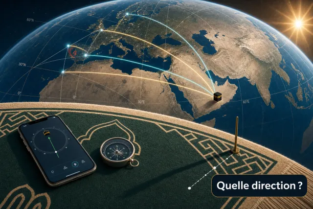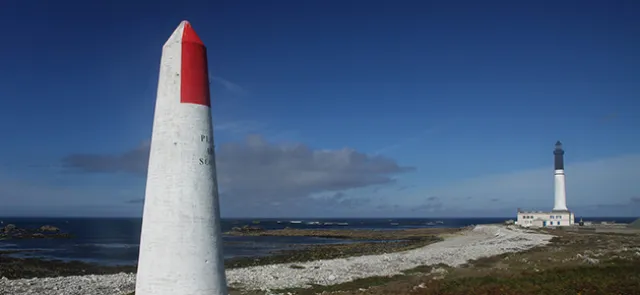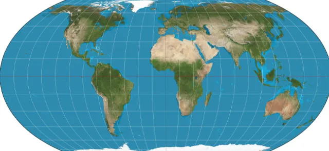




Sailors used to find their bearings at sea by the sun during the day and by the stars at night. They later invented instruments: the compass, in China as early as the 12th century; the magnetic compass in the 13th century; the astrolabe two centuries later; and finally the sextant in the 18th century. Alongside these voyages of exploration, nautical and terrestrial maps were developed, enabling people to locate themselves in relation to reference points. This marked the birth of position-finding on the globe.
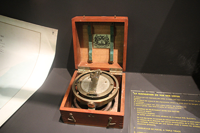
Bearing compass in its case, signed W.S. Butcher’s. In navigation, a compass is a horizontal instrument that provides a directional reference to magnetic north. If it includes an alidade (used to measure the horizontal direction of a celestial body relative to north), it is called a bearing compass.
Early position-finding
------------------
As early as the 6th and 5th centuries BCE, Greek scholars, including Anaximander of Miletus, understood that the Earth was spherical, initially from considerations of symmetry with the spherical heavens. By the 4th century BCE, the Earth's roundness had become widely accepted, thanks to Plato and Aristotle, who drew on the study of lunar eclipses, during which the shadow cast by the Earth is always circular, and on observations of ships sailing away from shore: their hulls disappear before their masts.