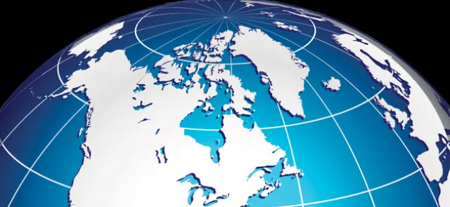





Any geographic map (of the world, a continent, a country) is necessarily a distortion of reality, since the earth is a sphere and our map is on a plane. When looking at a hiking map, the distortions no longer come from the curvature of the earth but from the surrounding terrain. Contour lines are there to indicate this distortion: when you cross a contour line, you move forward and climb (or descend) at the same time, so the distance covered is (slightly) greater than if you had walked on flat ground.
Translation surfaces, which we will define, are also described by maps (or nets), but unlike the Earth, they are flat. A map of the surface as large as the surface itself (that is, at a scale of 1:1, so a bit unwieldy...) would stick to the surface perfectly, fitting its shape without creasing or tearing!
The world of translation surfaces
A translation surface is a mathematical object obtained from a polygon whose sides are identified in pairs. "Identified" means that we no longer distinguish between the two sides: they now form a single side, as if they had been glued or stitched onto one another. This construction can be visualized as building a paper cube from a net. However, for the result of this construction to be called a translation surface, the following three conditions must be met:
(1) the polygon used has sides that are parallel in pairs and of equal length;